Mapping
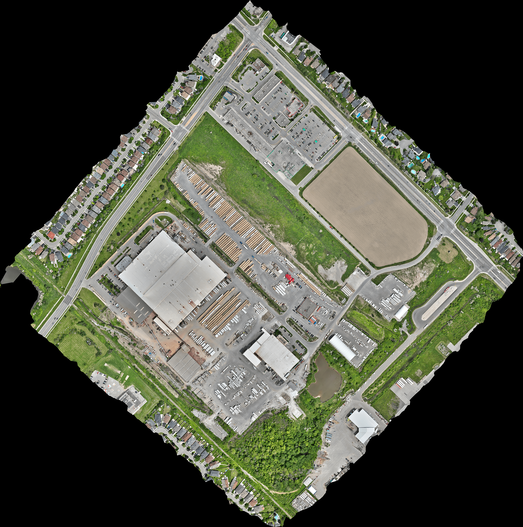
Unlock superior accuracy, efficiency, and affordability in your mapping projects with our drone service’s state-of-the-art drone photogrammetry services.
We cater to diverse mapping needs, delivering high-resolution, precise maps for:
Topographical Mapping: Generate detailed elevation data crucial for land development, environmental assessments, and infrastructure planning.
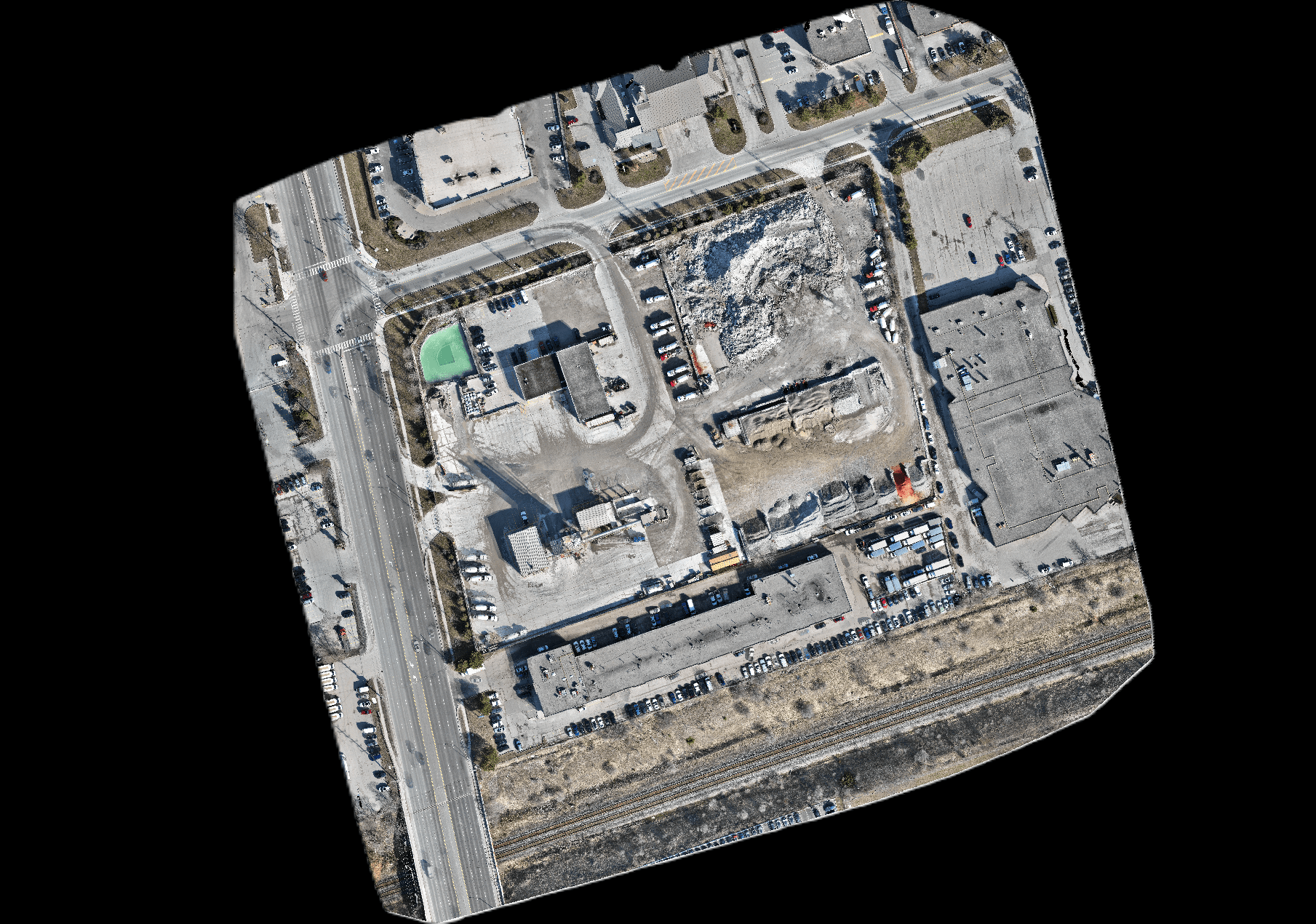
Orthomosaic Creation: Produce distortion-free, high-resolution maps perfect for land use planning, resource management, and historical preservation.
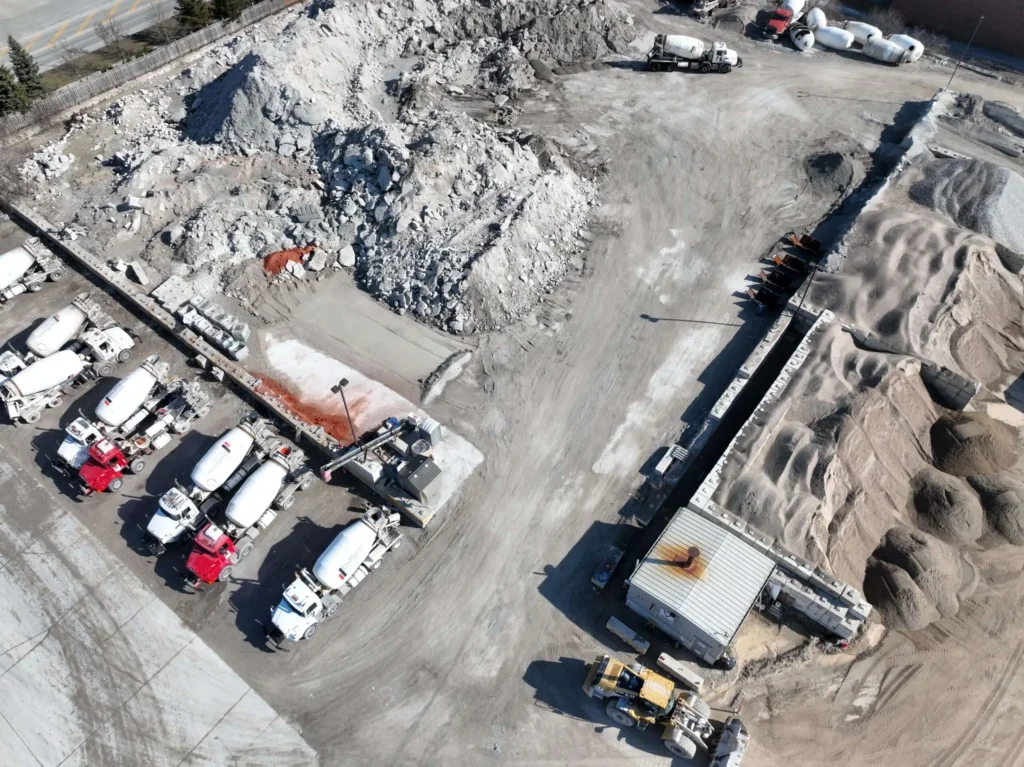
Volume Measurements: Calculate stockpile, quarry, and terrain volume with exceptional accuracy for construction, mining, and stockpile management.
3D Terrain Modeling: Create immersive 3D models for a comprehensive understanding of terrain, facilitating visualization for planning and analysis.
Why Choose Drone Photogrammetry?
Enhanced Accuracy: High-resolution data yields superior results compared to traditional methods.
Boosted Efficiency: Rapid data acquisition saves time and resources compared to ground surveying.
Unmatched Accessibility: Drones reach remote or challenging terrain, enabling data collection in difficult areas.
Cost-Effective Solution: Drone-based mapping offers a budget-friendly alternative for various projects.
Detailed Data Capture: Capture a wealth of information for comprehensive analysis and informed decision-making.
Benefits You Can Count On:
- Superior Accuracy
- Enhanced Efficiency
- Unprecedented Accessibility
- Cost-Effective Solutions
- Detailed Data
- Crystal-Clear Communication
Types of Deliverables
- .TIF for Reflectance, DSM/DTM
- .LAS Point Cloud
- GeoTIFF Maps
- .TIN Surfaces
- .OBJ and PDF 3D Models
- .DWG Contours
- .KML (Google Earth Orthomosaic)
Deliverables
- Photos and Videos
- Progress Reports
- Volumetric and Stockpile Reports
- Cut/Fill Reports
- .TIF for Reflectance, DSM/DTM
- .OBJ and PDF 3D Models
- .DWG Contours
